


L'étang du Breuil

Gegetop
User
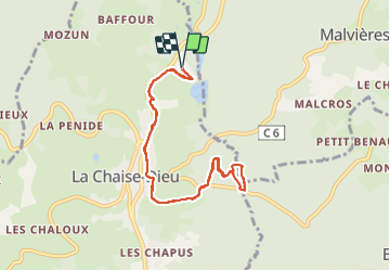

Length
9 km

Max alt
1088 m

Uphill gradient
139 m
Km-Effort
10.8 km

Min alt
1025 m

Downhill gradient
139 m
Boucle
Yes
Creation date :
2023-07-23 10:18:10.689
Updated on :
2023-07-23 13:01:28.793
2h10
Difficulty : Easy

FREE GPS app for hiking
 SityTrail
IGN / Geographical institutes
SityTrail Plus
The world is yours!
About
Trail Walking of 9 km to be discovered at Auvergne-Rhône-Alpes, Haute-Loire, La Chaise-Dieu. This trail is proposed by Gegetop.
Description
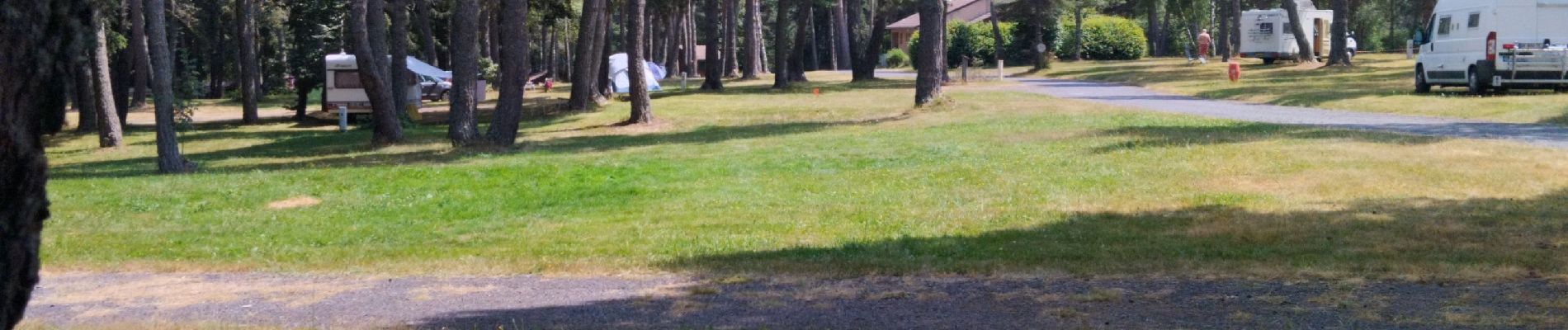
Aller et retour depuis le camping des Prades.
Photos

Positioning
Country:
France
Region :
Auvergne-Rhône-Alpes
Department/Province :
Haute-Loire
Municipality :
La Chaise-Dieu
Location:
Unknown
Start:(Dec)
Start:(UTM)
555196 ; 5020210 (31T) N.
Comments